Week 4a- Water
| Site: | Unitec Moodle |
| Course: | ENGGMG7109 - Resource and Environmental Management 2022 |
| Book: | Week 4a- Water |
| Printed by: | Guest user |
| Date: | Saturday, 1 August 2026, 10:14 PM |
Table of contents
- 1. Water
- 1.1. Lotic & Lentic systems
- 1.2. Estuaries
- 1.3. Effects on Water
- 1.4. Thermal Pollution
- 1.5. Temperature as a contaminant
- 1.6. Landuse Consents
- 1.7. Water Consents
- 1.8. Discharge Consents
- 1.9. Water Quality Assessment Tools
- 1.10. MCI
- 1.11. Case Study - Waikato River
- 1.12. AEE
- 1.13. Hydrological Effects
- 1.14. Further Effects
- 1.15. Marine Systems
1. Water
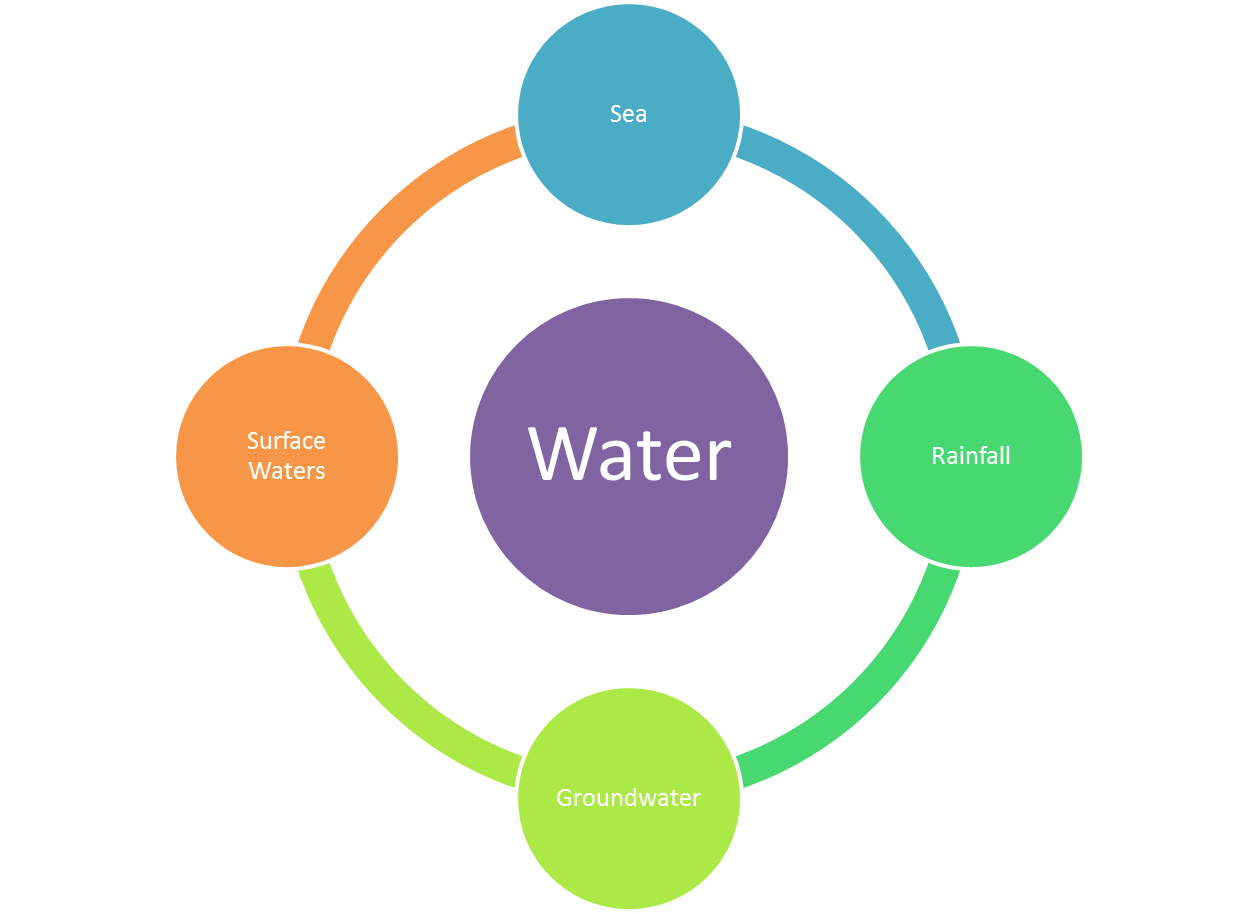
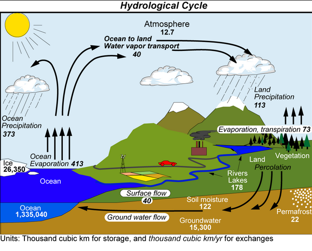
We all love being in water - a vital lifeforce for planet Earth. Just as for land, water resources are part of a system which is interlinked. This system is more commonly known as the hydrological cycle. The hydrological cycle may be affected by man's activities in all areas from the mountains through to the sea. A simplified version of this system is shown in the diagram and a more thorough cycle in provided on the next page..
In New Zealand, there are:
- Over 180,000 kilometres of rivers has been mapped in New Zealand
- The longest river in New Zealand is the Waikato River with a length of 425 kilometres.
- The largest river by volume is the Clutha River with a mean discharge of 533 cubic metres per second.
- Some of the rivers have wide flood plains and stop banks, such as the Rakaia River
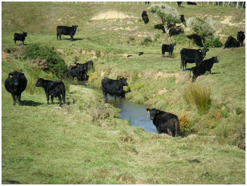
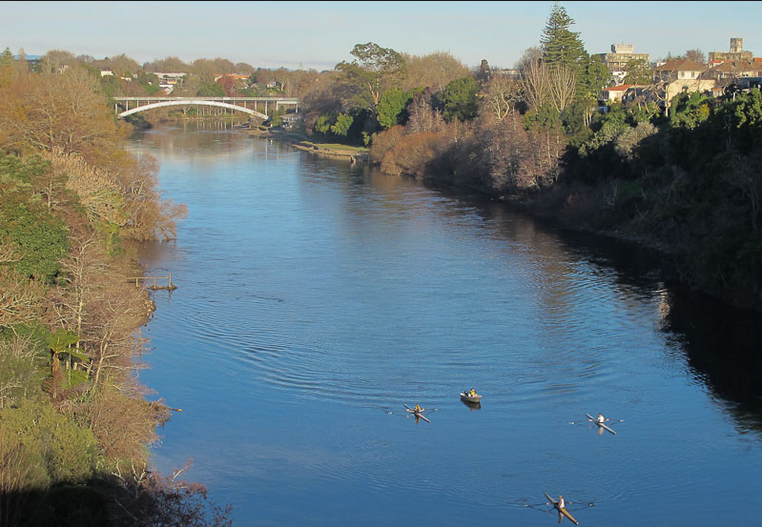
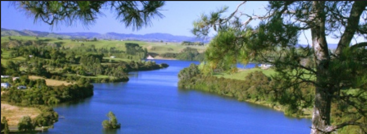
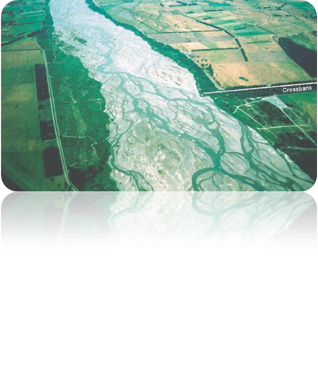 In New Zealand, Lotic systems such as rivers are diverse ranging from glacial rivers and huge braided river systems to small urban streams. These natural systems are vital for water resources, especially for agriculture as well as for recreational purposes.
1.1. Lotic & Lentic systems
 Lentic systems, which are closed environments such as ponds and lakes are susceptible to anthropogenic influences, for example, discharges of stormwater or wastewater or agricultural runoff. Not only can the water quality by affected in terms of its chemistry but the affects are often seen to the food web which is supported by this environment.
In New Zealand, there are:
- 41 lakes with a surface area larger than 10 km² (1000 ha)
- 229 lakes greater than 0.5 km² (50 ha)
- 3820 lakes greater than 0.01 km² (1 ha)
- Largest lake: Lake Taupo – 616 km2
- Deepest lake: Lake Hauroko – 462 m
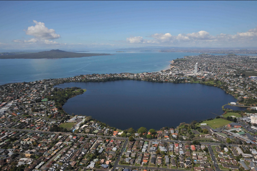
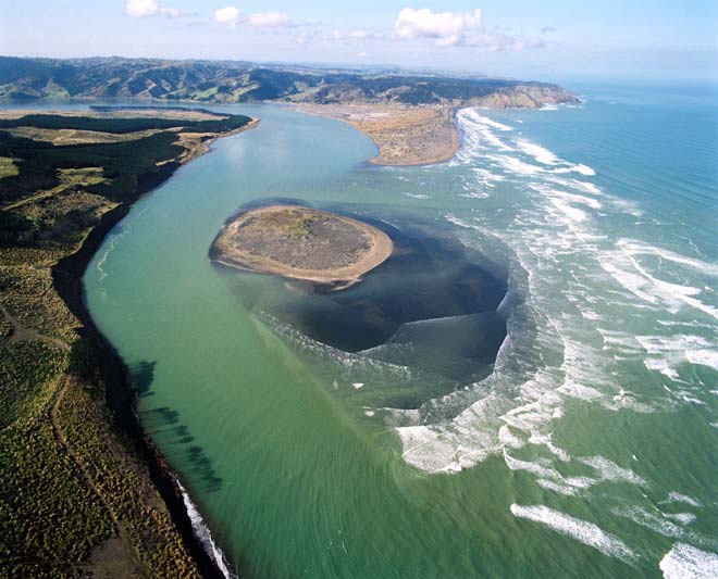
1.2. Estuaries
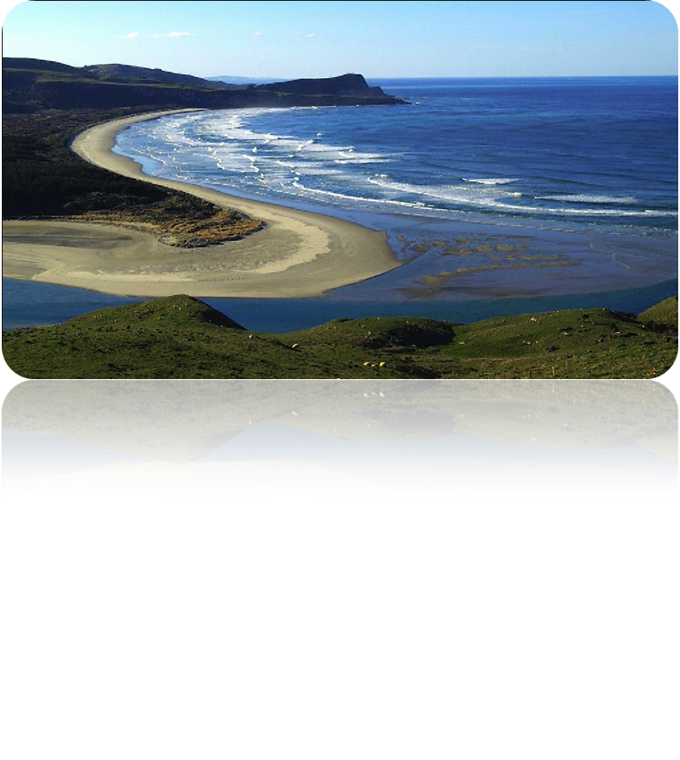 An estuary is a partly enclosed coastal body of brackish water with one or more rivers or streams flowing into it, and with a free connection to the open sea. Estuaries form a transition zone between river environments and maritime environments and are subject to both marine influences, such as tides, waves, and the influx of saline water; and riverine influences, such as flows of fresh water and sediment.
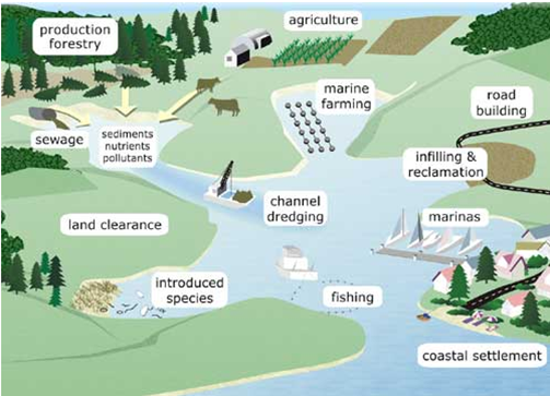
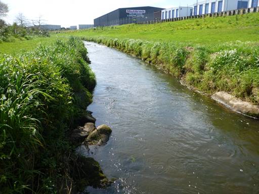
1.3. Effects on Water
 Activities, processes or structures which may affect water include:
- Roads / Transport (Pollution)
- Developments (Hydrology)
- Coastal infrastructure (Harbours)
- Water infrastructure (Abstraction)
- Agriculture / Farming (Nutrients
- Power infrastructure (Damming)
- Mining (Tailings- Acid)
- Discharges (from all sources e.g. spills).
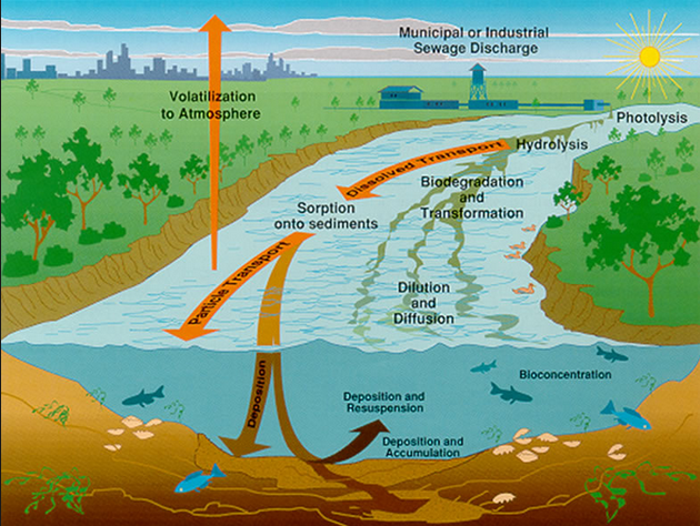
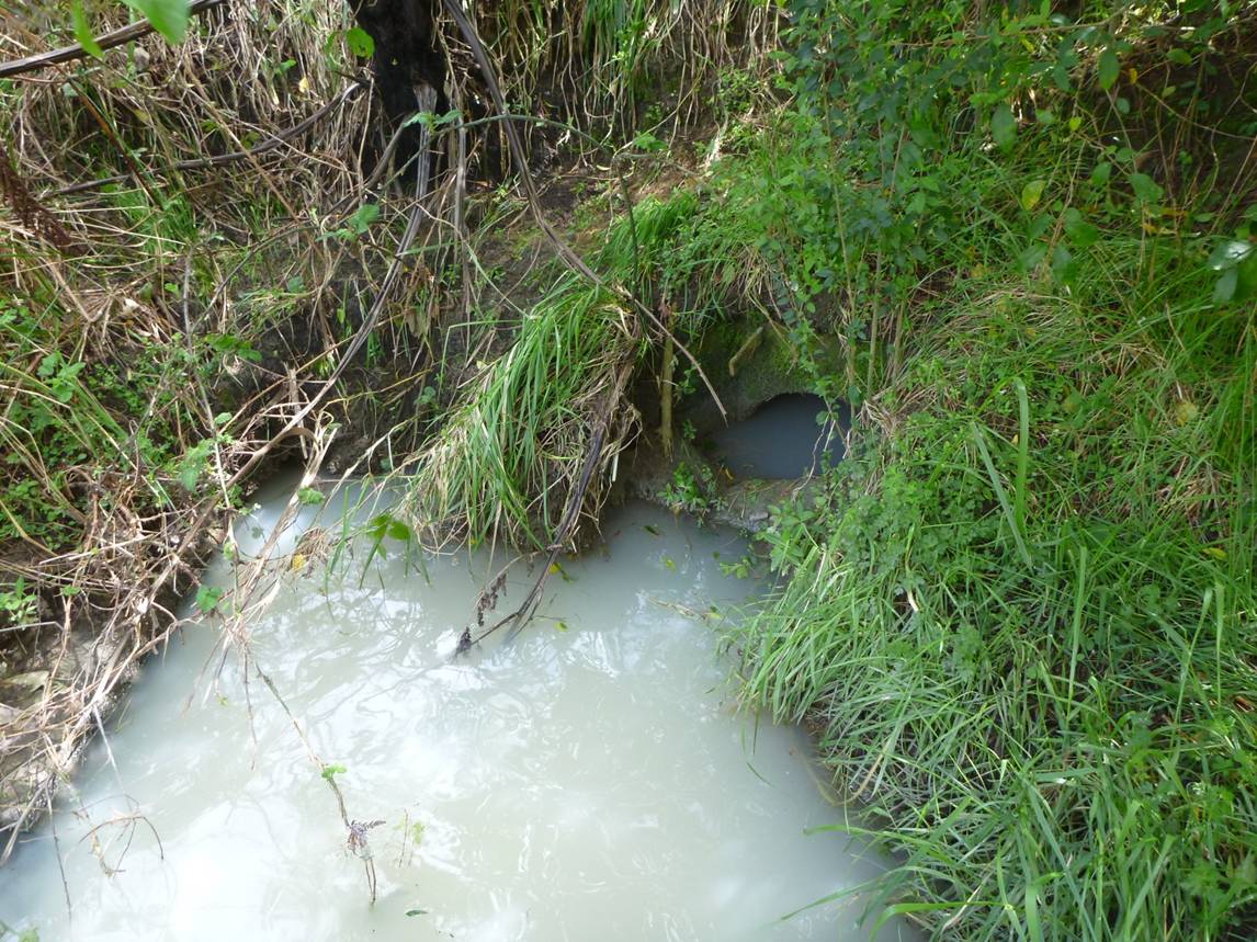
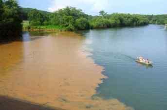
Rainfall patterns and intensity can affect the water quality of our rivers and lakes. Often very dry periods,which are succeeded by heavy rainfall, result in the deposition of contaminants such as hydrocarbons and heavy metals into these systems.
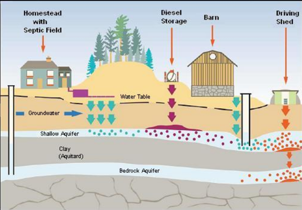
Activities on land which may affect groundwater are shown in the diagram below. There are many other accidental spills, intentional leaks and industrial processes which add to the list, all of which are a threat to groundwater resources..
1.4. Thermal Pollution
Sources of elevated water temperatures can arise from urban road runoff and the use of water as coolants by power plants. Most organisms will tolerant only a fairly narrow range of ambient temperatures. The human body has a tolerance range of just 3°C, with 37°C an average "normal" temperature and hypothermia observed at <35°C and hyperthermia at 38°C. Visible signs of stress may be observed outside the range of 35-38°C but there are also internal changes which may occur which are not observed.
 In aquatic systems, fluctuations in temperature are made worse by the change in oxygen solubility. Remember that oxygen solubility increases with decreasing temperature. Therefore the input of warm water to an aquatic environment can result in a decrease in oxygen concentration. This has implications for the biodiversity of the system for two reasons. Firstly, some organisms are more sensitive to fluctuations in oxygen concentrations than others and may either move to a more suitable environment or perish. Adverse affects on cellular biology due to elevated temperatures is specific to each organism (larger organisms are generally more sensitive). Secondly, anaerobic conditions encourage bacterial growth which may out-compete other species.
- Diurnal variations
- Seasonal fluctuations
In addition, there are a number of anthropogenic sources which may causes issues with thermal pollution, including:
- Discharges from industry
- Riparian vegetation removal
- Drainage network alteration
- Increased imperviousness
1.5. Temperature as a contaminant
T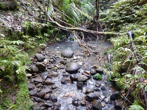 he actual impact of discharges into surface water features depends on at least some of the following factors:
- Magnitude (maximum & range)
- Duration of exposure
- Frequency of exposure
- Spatial extent of effects
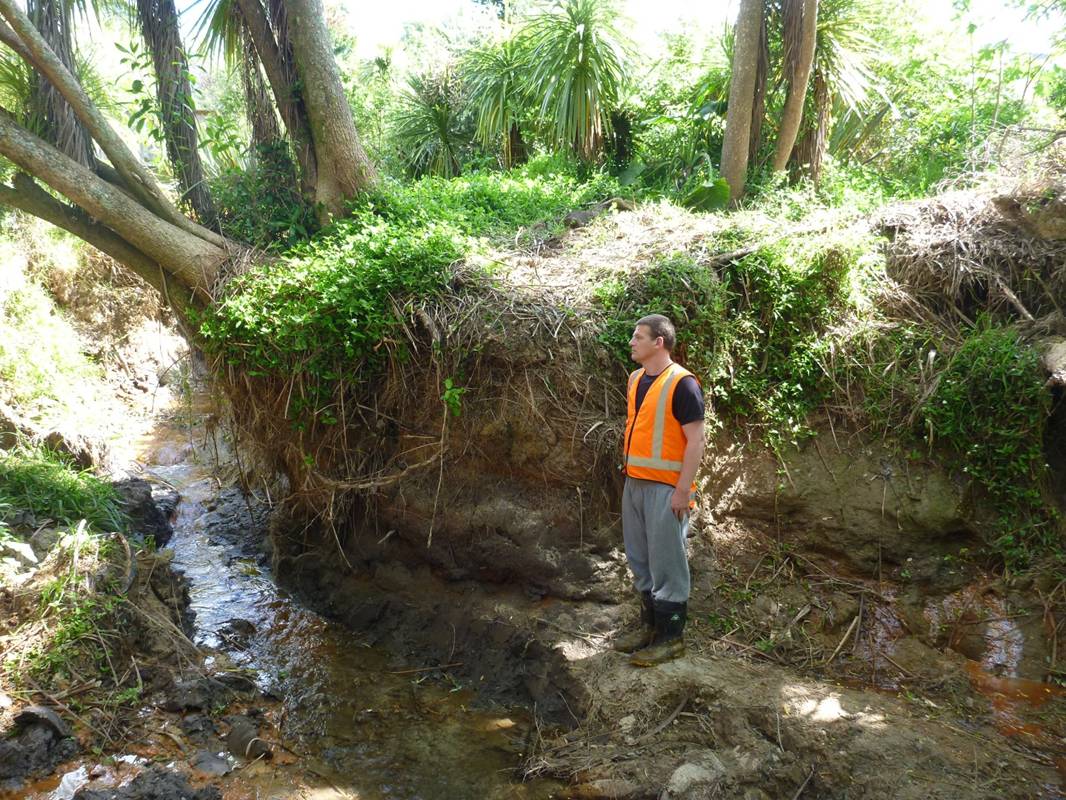
Consider the three examples below which show the different stream environments and how they may be affected by high or low temperature inputs.
1. Bush Stream
- Baseline
 Represents natural condition
- High level of shading
- Habitat complexity
This would be considered to be the most natural ("baseline") stream.
2. Pastoral Stream
- Impacted channel
- Predominantly unshaded
- Reduced habitat complexity/diversity
 In concrete channels, elevated temperatures of up to 30 have been measured, made worse by the lack of riparian zone.
- Impacted channel
- Predominantly unshaded
- Modifications to channel morphology
- Modifications to flow patterns
1.6. Landuse Consents
There are three types of consent which may required: land-use, water and discharge consents.
These types of consent may be applicable for any activity affecting a water course including:
 Different land uses which can affect water quality, land stability and the incidence of flooding.
- Land use consents which identify, control and minimise the impacts of activities on people and the environment (image shows the requirement for erosion control).
You may need a land use consent if you want to:
- build or alter a bridge
- construct or alter a well
- construct or alter a culvert
- drain a wetland area
- drill, tunnel, excavate or otherwise disturb the bed of a river or lake
- carry out soil disturbance (earthworks), vegetation clearance, roading or tracking
- place cleanfill onto land
- erect an erosion control structure
- construct or alter a ford across a waterway
- remove sand or gravel from the bed of a watercourse
- carry out soil cultivation near a watercourse
1.7. Water Consents
 Damming, diverting and taking water can affect people's ability to use the water, as well as affecting stream plant and animal life. Water consents identify, control and minimise the impacts of an activity on people and the environment. You may need a water consent if you want to:
- take or use water from a river, stream, dam, lake or spring.
- take or use water from an underground source (groundwater)
- take or use geothermal water, heat or energy.
- construct or alter a dam or stopbank and impound water behind the structure.
- divert a watercourse.
1.8. Discharge Consents
 Discharge consents cover activities which discharge contaminants into water into or onto land to air.
- discharge potentially contaminated water (or water containing sediment) into water, or onto or into land
- discharge farm animal effluent into water, or onto or into land
- discharge treated human sewage onto or into land or water
- discharge treated or untreated wastes into water, or onto or into land involve dumping or landfills
- create offending odours
- involve intensive indoor farming of pigs, broiler chickens or mushrooms
- discharge dust, steam or other matter into the air
1.9. Water Quality Assessment Tools
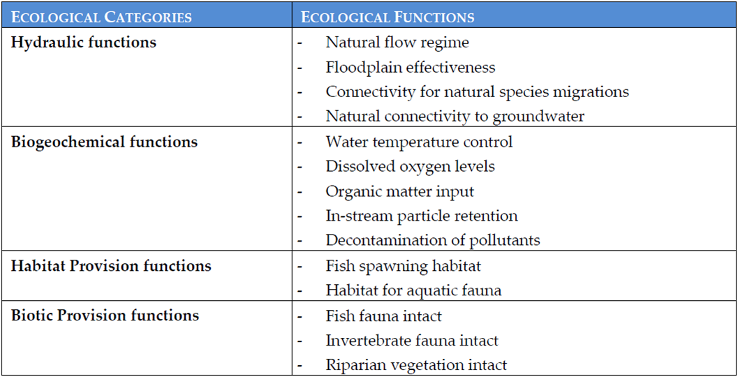 Aside from chemical water quality markers, there are a number of other assessment tools and treatment guidelines including:
- Stream Ecological Evaluation
- Macroinvertebrate Community Index (MCI)
- The trophic level index is used to measure of nutrient status of lakes.
- ANSECC Guidelines Sediment Quality
- TP 108
- Hec hms (a modelling tool for flow assessment)
- Bespoke Modelling Tools (flow/nutrients)
These parameters allow a quantitative and/or qualitative comparison between streams.
In addition, the table shows a number of other ecological function markers
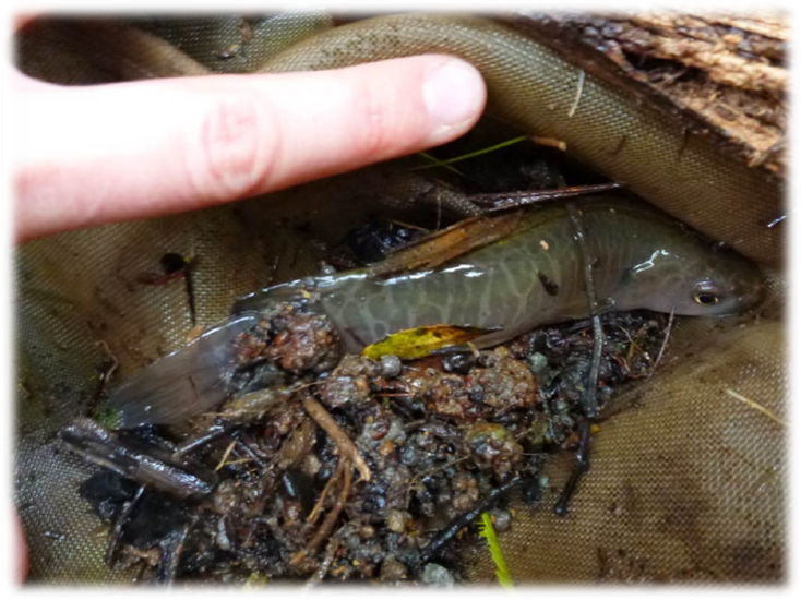
1.10. MCI
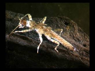 The MCI test requires the identification of a number of different species which may be biological quality markers. Species may be deemed "sensitive" (their presence indicating a high level of water quality), moderately sensitive or tolerant (whose presence would be expected in most streams).
Sensitive species include:
- Caddisflies - freeliving
- Caddisflies - cased
- stoneflies (see image)
- Freshwater mussels
- Freshwater crayfish
 These species are only found in highly oxygenated water, mainly due to their poorly developed gills.
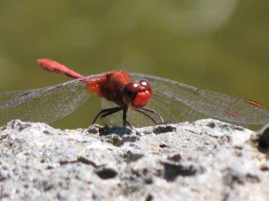
Moderately sensitive species include:
- Damselflies
- Dragonflies (see image)
- Beetles
- Crustaceans
Species which are tolerant to most conditions include:
- Snails
- Maggotflies
- Mosquito larvae
- Leeches
Most of these species take their oxygen from the air rather than from the water which means that they are more tolerant to poorly oxygenated waters.
1.11. Case Study - Waikato River
 Watercare is seeking resource consent for:
- The taking of an additional 200,000 m3/day (net) of water from the Waikato River for municipal supply;
- The discharge of process and off-spec water (i.e. treated water that does did not meet Drinking Water Standards for New Zealand) to the Waikato River in the vicinity of the Waikato WTP; and
- The construction and operation of a new intake and discharge structure and pipes in the bed of the Waikato River.
Assessment of Environmental Effects (AEE)
A comprehensive assessment of the environmental effects of the proposed activities has been undertaken. This assessment of effects has in part used monitoring data obtained through the operation of the existing intake structure to identify potential effects associated with the new intake structure and the water take as a whole.
That monitoring data has shown the existing water take and discharge operation has a less than minor effect on the environment and, as outlined below, no reason has been identified why this situation would change if the operation is expanded to include the proposed additional take of water.
1.12. AEE
 The AEE was split into the following subsections:
- Positive effects;
- Cultural effects;
- Construction effects;
- Abstraction and intake effects;
- Discharge effects; and
- Effects on recreation and navigation.
Actual and potential effects on the environment due to the abstraction of water at the proposed intake have been broken down into the following six areas:
- The hydrological effects of reduced of flow in the Waikato River;
- Changes in sediment movement within the river due to the presence of the intake structure and reduced flow in the river;
- Effects on river temperature and dissolved oxygen due to reduced flow in the river;
- Effects on instream freshwater ecology;
- Effects on the location of the salt wedge as a result of the changed flow; and
- Effects on other users of the Waikato River.
1.13. Hydrological Effects
 In summary, the effects of the proposed abstraction on the river as it flows past the site will be:
- A water level change of approximately 15 mm (low tide) and 22 mm (high tide) (compared with a typical water depth for these scenarios of approximately 6 m and a daily tidal variation of approximately 0.5 m).
- A change in mean velocity of 0.004 m/s (low tide) and 0.002 m/s (high tide) (compared with a mean velocity in these conditions of ~ 0.5 m/s). Low summertime flows need to be calculated as during this time, the flow and energy will be reduced which changes sediment motion, can increase temperatures, change oxygen concentration and increase the intrusion of a saltwater wedge from the estuary.
- Compared to the existing conditions on the river, and the effects due to everyday tidal variation, the effects on the hydrology and hydraulic regime of the river due to the proposed abstraction will be no more than minor.
Image from teara.govt.nz
1.14. Further Effects
 Effects on sediment movement within the river
Effects on Water Quality
In order to determine the effects of the proposed abstraction on temperature and dissolved oxygen levels in the river, the computer software SEFA (System for Environmental Flow Analysis) has been used. SEFA implements the Instream Flow Incremental Methodology (IFIM) to provide a set of tools that allow the effects of flow alteration on various physical parameters to be assessed.
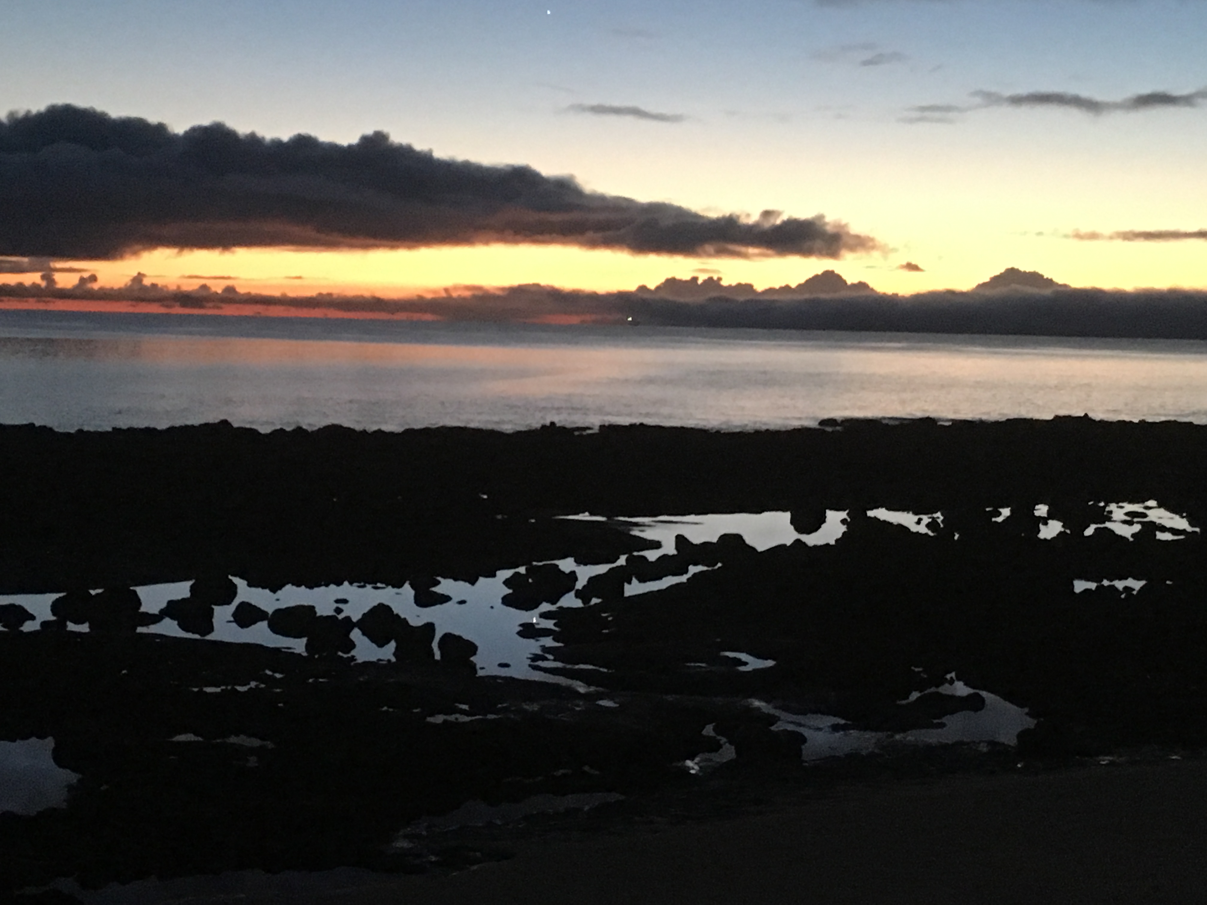
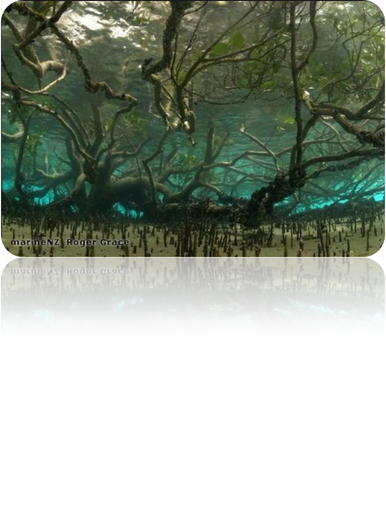
1.15. Marine Systems
We have discussed freshwater systems in lots of details in the previous pages but many of the water quality assessment tools are not as relevant for the marine environment. For activities affecting the marine environment, you would need to obtain and coastal and potentially a discharge permit. In terms of testing for baseline quality, you may want to consider that many of the chemical tests used for freshwater e.g for BOD/COD and nutrients are less helpful in the marine environment (in part because the dilution is so high that the BOD/COD levels will be very low and because phosphorus is not a limiting nutrient in the oceans for excessive plant growth (nitrogen and iron).
For marine regions, consider:
- Sediment Contaminant Assessment (using ANZECC standards or Auckland council guidelines)- if you are disturbing the bottom. This will look at substances like heavy metals and petroleum based hydrocarbons.
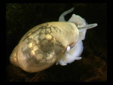
- Marine ecological survey (to determine the presence of any species (flora or fauna)which are vulnerable/rare etc and to establish bio-diversity).
- Specific chemical testing if required from known contaminant and from a single point source (e.g one discharge into the coastal region). It is really hard to get valuable data from multiple discharges once mixed with the seawater as dilution occurs so quickly. For example, this could be a leak from a chemical cleaning tank into the ocean which discharges a cleaning product which may be detected. As hazardous substances must be considered in an AEE – this may be appropriate depending on the project.